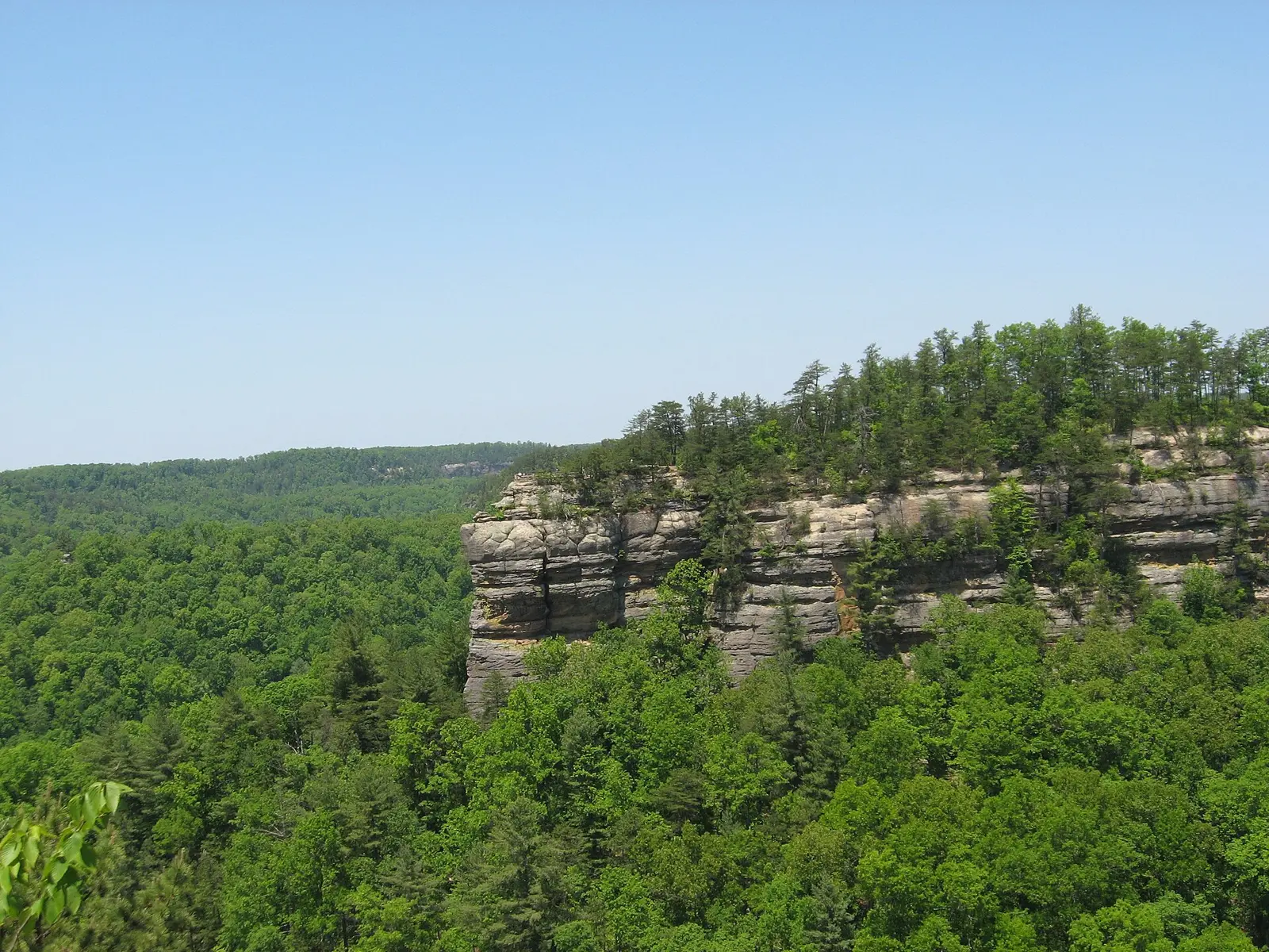
Chimney Top Trail passes through pine-hardwood forest to an overlook on Chimney Top Rock, with the Red River in the gorge below and Half Moon Rock nearby, according to the Forest Service.
Directions (USFS): from Mountain Parkway exit 33 at Slade, take KY 15 east 7 miles to KY 715, go 2.1 miles to Chimney Top Road, then follow it 4.5 miles to its end.
- Trail
- #235, 0.25 mile (USFS)
- Overlook height
- About 400 feet above the Red River (USFS)
- Combined hike
- Chimney Top Rock, Princess Arch & Half Moon Arch, 1.8 miles, easy
- Rules
- No climbing or rappelling within 300 feet of the overlook
FAQ
How long is Chimney Top Trail?
The Forest Service lists Chimney Top Trail #235 at 0.25 mile.
Sources: USFS Chimney Top Trail #235 · Hiking in Red River Gorge