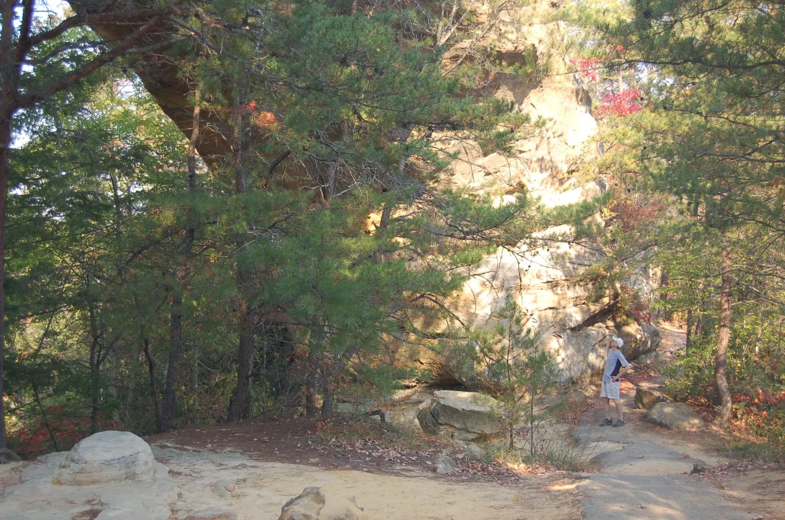
Red River Gorge Scenic Byway - Looking Up at Sky Bridge - NARA - 7721201

In RRG / Trails

Hike In RRGRed River Gorge trails

Arches, ridgelines and overlooks, with distances from official maps.

Photo: A. E. Crane, U.S. Department of Transportation, Public domain
Natural Bridge KY-27527-3

Natural Bridge

Natural Bridge State Resort Park, Slade

The Original Trail, 0.75 mile (state park trail map)
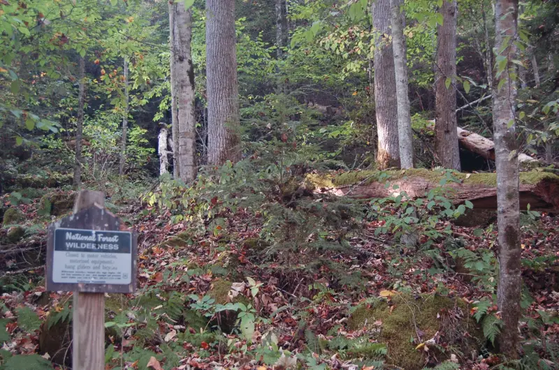
Red River Gorge Scenic Byway - Border of the Clifty Wilderness - NARA - 7721196

Gray's Arch

Red River Gorge Geological Area

#205, about 0.30 mile (RRG map)
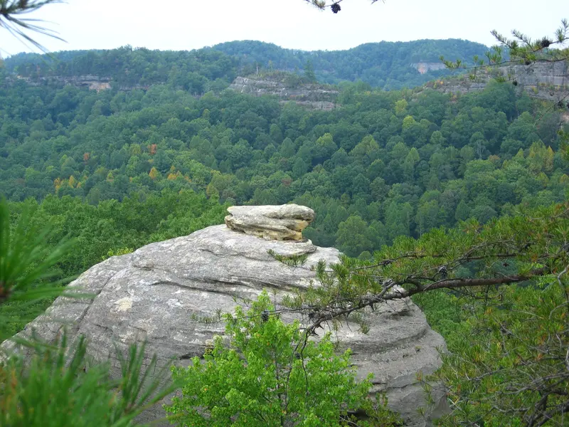
Haystack Rock and view over Red River Gorge

Auxier Ridge

Red River Gorge Geological Area

#204, about 2.06 miles (RRG map)
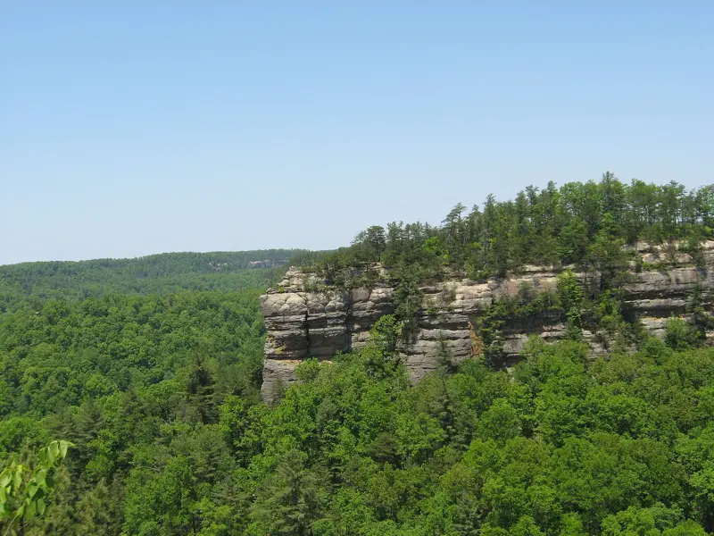
View of Chimney Top Rock

Chimney Top Rock

Red River Gorge Geological Area

#235, 0.25 mile (USFS)
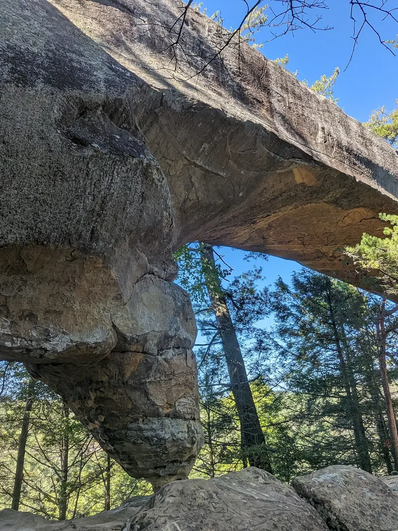
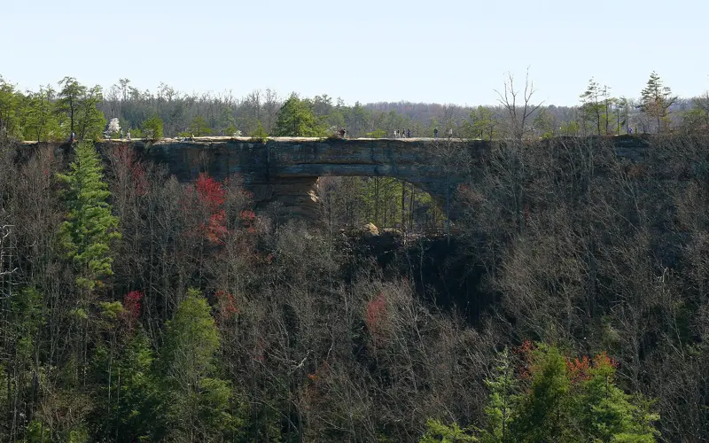
Photograph of the Sky Bridge within the Red River Gorge, Kentucky, USA

Sky Bridge

Red River Gorge Geological Area

#214, about 0.85 mile (RRG map)
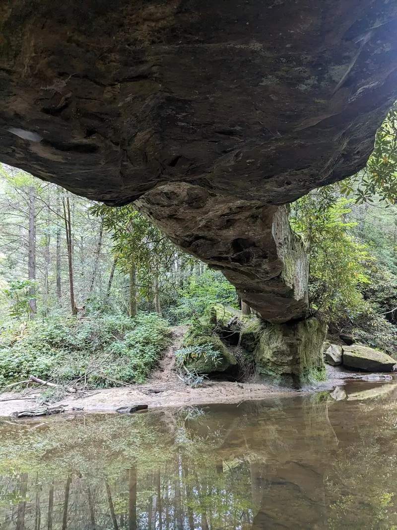
Rock Bridge Underside, Red River Gorge, Kentucky, USA

Rock Bridge

Rock Bridge Recreation Area

#207, about 1.30 miles (RRG map)
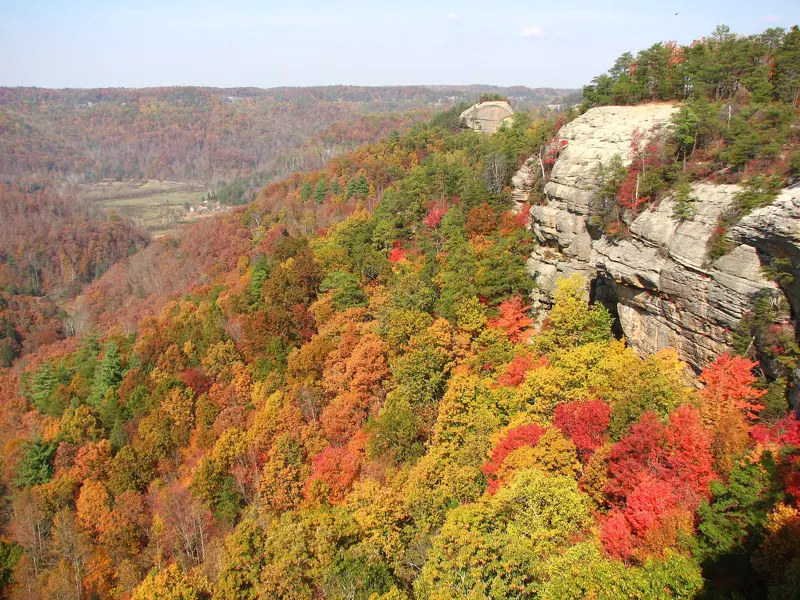
Courthouse Rock Kentucky

Courthouse Rock

Red River Gorge Geological Area

#202, about 2.40 miles (RRG map)
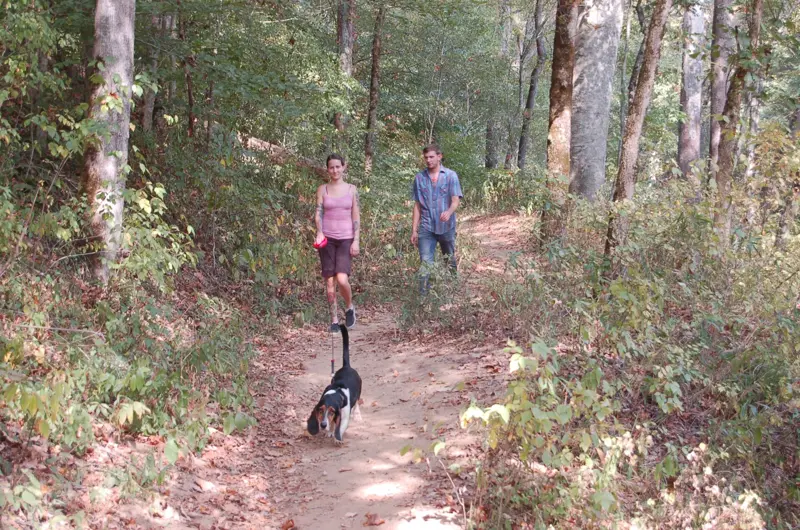
Red River Gorge Scenic Byway - Hiking the Sheltowee Trail in Red River Gorge Geological Area - NARA - 7721183

Sheltowee Trace

Daniel Boone National Forest

#100, National Recreation Trail

Before you go: permits & parking · safety · camping · climbing